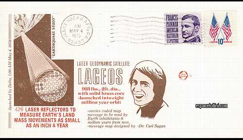
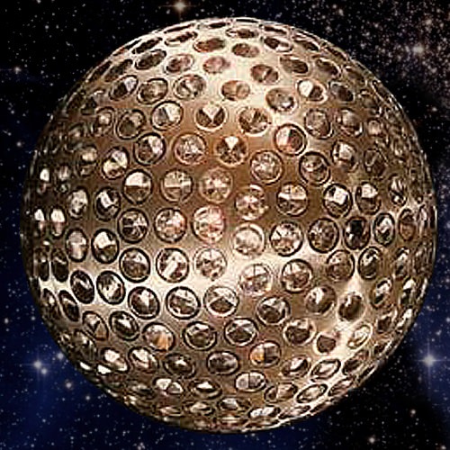
Descrizione : LAGEOS (Laser Geodetic Satellite) was a very dense (high mass-to-area ratio) laser retroreflector satellite which provided a permanent reference point in a very stable orbit for such precision earth-dynamics measurements as crustal motions, regional strains, fault motions, polar motion and earth-rotation variations, solid earth tides, and other kinematic and dynamic parameters associated with earthquake assessment and alleviation. Because it is visible in all parts of the world and has an extended operation life in orbit, LAGEOS can serve as a fundamental standard for decades.
Vandenberg post stamp and Lageos satellite.