ou?/where?: au sol - ground
autographe?: non - none
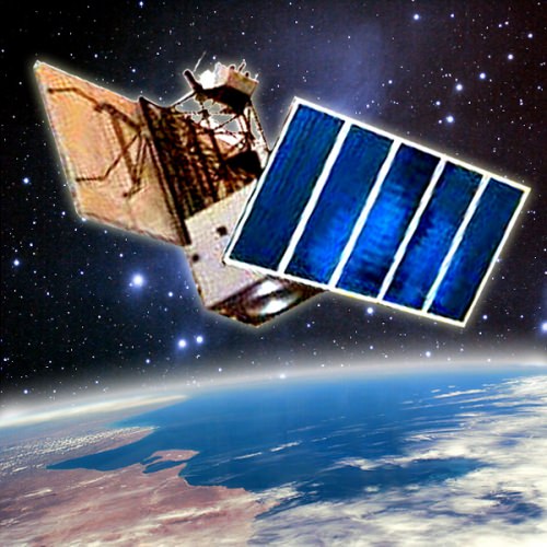
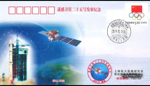
Beskrivning : Described as being used for remote sensing for natural resources surveys. Specific tasks include land survey, crop yield assessment, and input to disaster monitoring and prevention plans. Mission is probably military or government photo-reconnaissance.